Custom Map
Overview
Custom maps are a feature for clearly displaying location data such as business district locations and store information. In shopping mall business scenarios, they can be used to display store distribution, promotional information, special events, etc. within shopping centers, enhancing customer shopping experience.
Custom maps include Etone Indoor Map, Fengniao Indoor Map, and Flat Map. Through uploading existing map files, associating relevant datasets, and using map editor functions, indoor map file import and export functions achieve cross-domain reuse. Block names are searchable, making it convenient for users to associate and find corresponding store information through datasets.
When conducting store-related analysis for mall maps, each shop corresponds to a location ID, which in turn corresponds to a business store ID and store name; at this point, the location ID corresponds to the block ID in the business data, the store ID corresponds to the store ID in the business data, and the store name corresponds to the store name in the business data.
If in actual business analysis, the location ID and business store ID are the same, then when editing the card, you only need to drag either one of the fields into the dimension.
Usage Guide
Create Custom Map
On the Dashboard page, click "Custom Map" in the nine-grid menu in the upper right corner to enter the map addition page. Click "Add Map" in the upper right corner. You can choose Etone Indoor Map, Fengniao Indoor Map, or Flat Map.
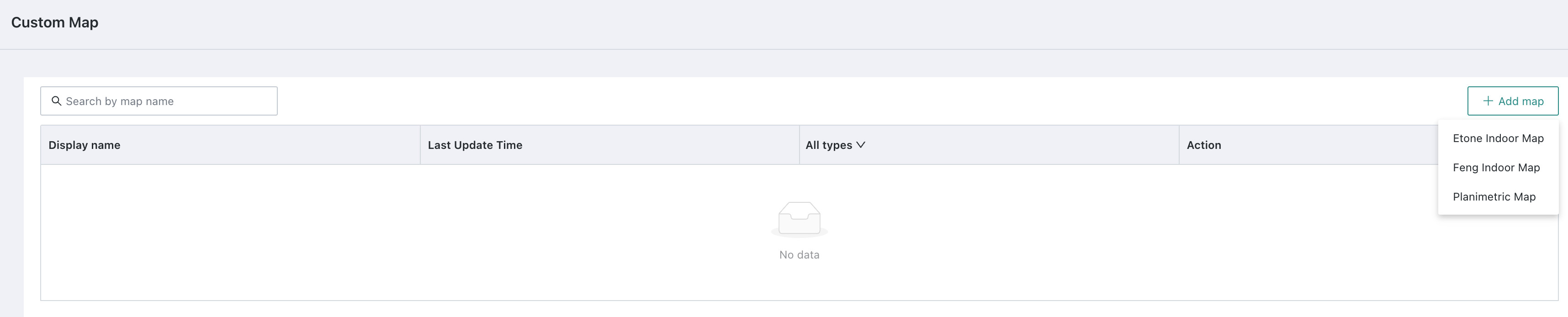
Among them, "Etone Indoor Map" and "Fengniao Indoor Map" are 3D maps, which are digital map tools used for displaying and navigating indoor environments; while "Flat Map" adopts a 2D display form, showing geographic features, administrative divisions, traffic routes, and other information in a two-dimensional plane. The following will specifically describe the configuration process for the three types of maps.
Etone Indoor Map
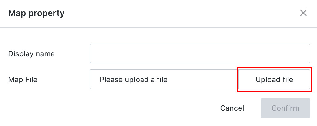
When choosing to add an Etone map, after filling in the display name, click "Upload File" to select an existing local map file to upload as material for use.
When uploading a "Map File", please select yitong/fengmap format files.
Fengniao Indoor Map
-
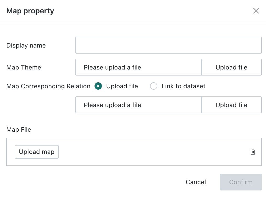
When adding a Fengniao indoor map, after filling in the display name, users need to upload files in "Map Theme", "Shop Number - Brand Name Table", and "Map File" respectively.
NoteWhen uploading a "Map File", please select star.fmap format files.
-
Among them, the "Shop Number - Brand Name Table" of the Fengniao indoor map can be associated with the corresponding dataset. When associating a dataset, you need to pay special attention to the following required fields marked with *:
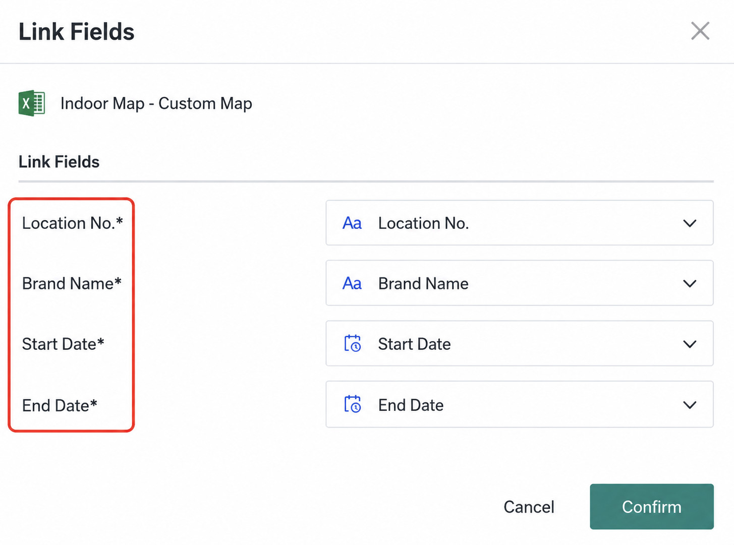
- Shop Number: Each shop number corresponds to a store location;
- Brand Name: The brand name of the store;
- Start Date and End Date: The valid dates of this map.
Flat Map
-
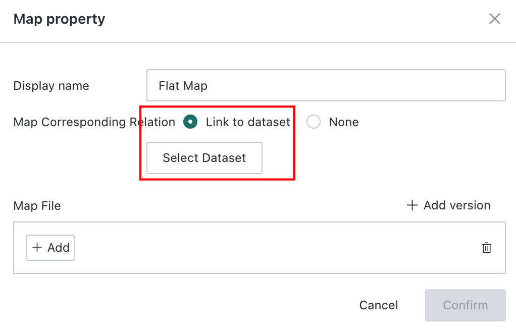
When adding a flat map, after filling in the display name, you can associate the corresponding dataset in "Block - Counter Association".
-
When associating a dataset, you need to pay special attention to the following required fields marked with *:
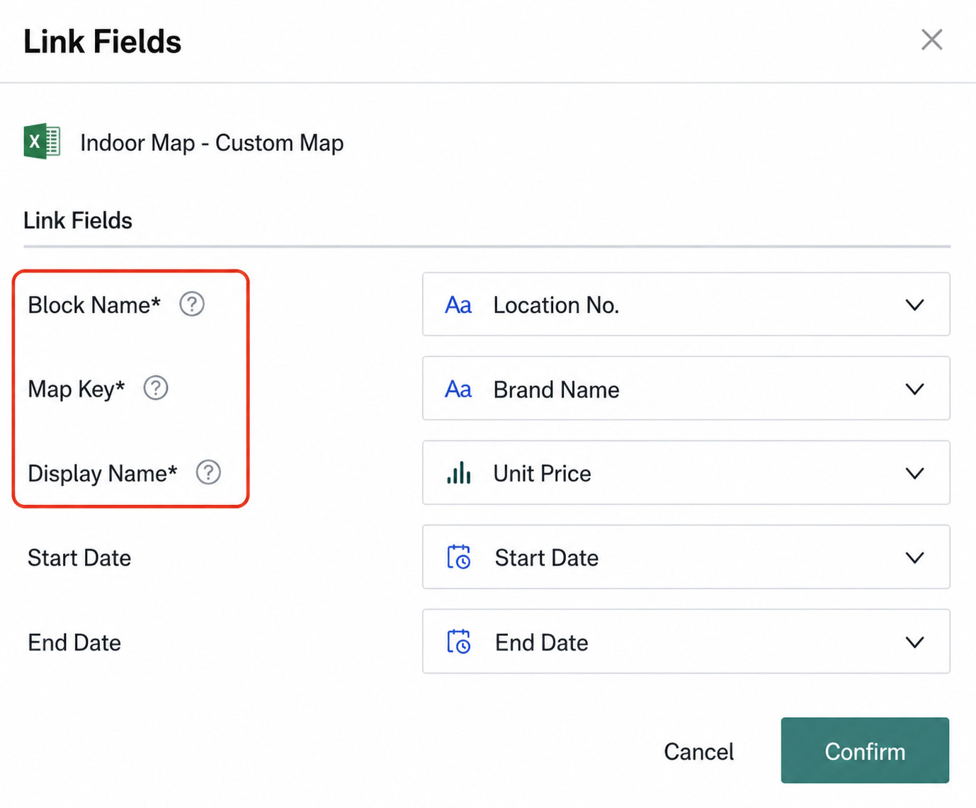
- Block Name: That is, the "Block Name" in the map editing page.
- Map Primary Key: That is, the [Dimension] field for the chart type "Flat Map" in the card editing page.
- Display Name: The name displayed for each block when the map is finally used.
- Start Date and End Date: If the current map does not undergo multi-version management, there is no need to associate these two fields. If multi-version management is required, fill in the valid time of this map here.
-
After creating a new map file, the system opens the Map Editor. After entering the display name, you can directly draw shapes as blocks, place points, draw paths in the blank area, or upload a map image as the base map. After drawing is complete, you can click
Exportto export the current map file; you can also clickImportto reuse an existing map file and fine-tune it based on the original. Finally, clickConfirmto save.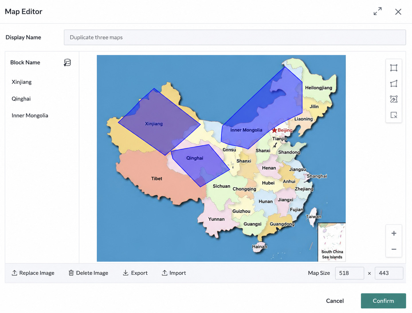
Manage Custom Maps
After users create custom maps, they can modify, delete, and perform other operations on custom maps in Admin Center > Resource Management > Custom Map Management. For details, please refer to Custom Map Management.
Use Custom Maps
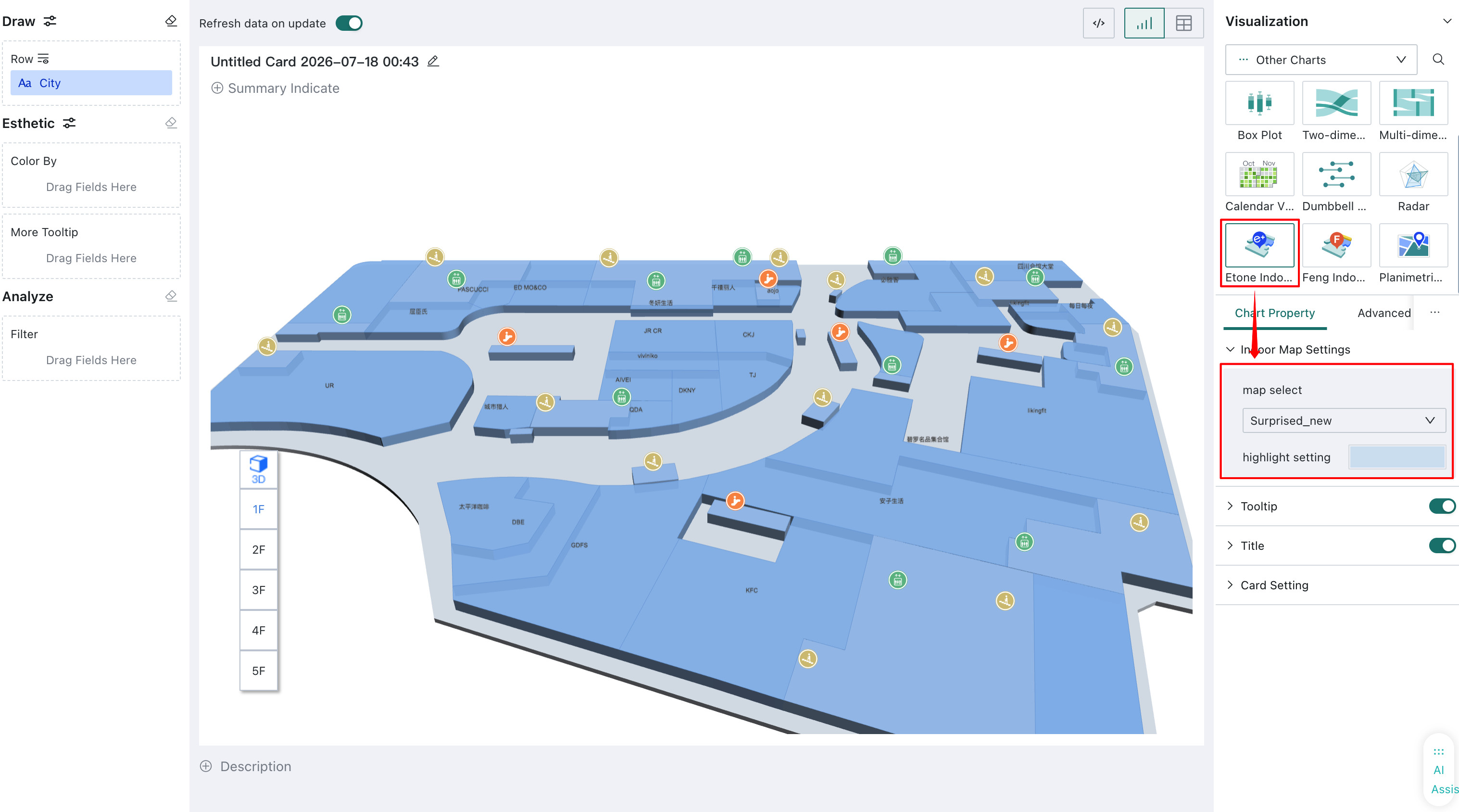
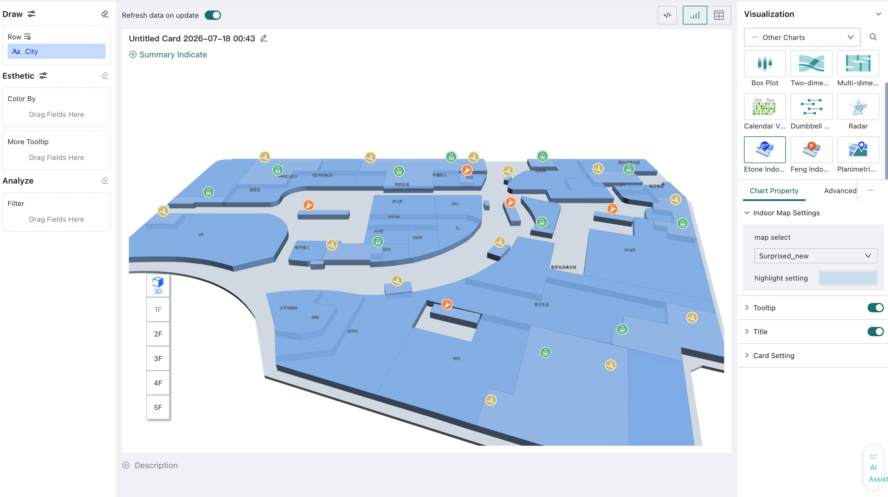
If users want to reuse created custom maps, they can select the corresponding map type in "Visualization > Other Types" on the card editing page, and find the uploaded custom map in "Chart Properties > Indoor Map Settings > Map Selection" for one-click use.